In short:
- Trinvist short search is a method for planning nature and cultural excursions using digital map tools. The route is built in several stages with 3-5 stops, ensuring more presence and better experiences. By adjusting the route to your own pace and interests, you gain greater control over the experience and complete it more relaxed.
Trinvist short search experiences is a method where you systematically find and plan nature experiences, cultural stops, and historical sights through map-based steps and route division. The method is not a fixed tourism term, but a Practical approach to route planning, which makes it possible to assemble meaningful excursions without drowning in too many choices. You use digital map tools like Google Maps, NaturTjek app, and local route planners to search for theme words, evaluate images and reviews, and then build a logical route with 3–5 stops. The result is a manageable, personal experience that suits your pace and interests, whether you're looking for coastline, medieval castles, or sculpture parks.
What tools should you use for step-by-step short search?
The right digital tools are the foundation for a successful map-based experience route. Google Maps is the most accessible starting point: you search for a keyword like "sculpture park" or "medieval church," evaluate images and reviews, and save candidates on a list. The iterative search process means that you do not gather everything at once, but continuously evaluate and add stops. It provides more realistic and relevant routes than planning everything from the start.
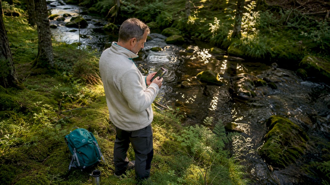
In addition to Google Maps, there are specialized tools for Danish nature excursions. The NaturTjek app provides local information about access conditions, facilities, and terrain. Local municipal route planners, which many Danish municipalities offer for free online, show marked trails with precise distances and elevation profiles. If you combine these three tools, you get a solid foundation for planning. your personal experience route.
What should you check before departure?
Local information is at least as important as the map itself. Check the weather forecast for the specific area, not just the general nationwide forecast. For coastal trips, you should check the tide tables, as access to beaches and cliffs can change significantly. Also check whether parking spaces are open and whether facilities such as toilets and tables are available in the current season.
Here are the most important preparation points gathered:
- Short tool: Google Maps, NaturTjek app or municipal route planner
- Weather and wind: Check DMI.dk for local conditions, not just an overall forecast
- Tidewater Use DMI’s tide tables for coast and cliff walks
- Facilities: Confirm opening hours for parking, toilets, and any entrance points
- Distance and time: Calculate a realistic travel time based on approximately 4–5 km per hour
- Backup: Download map section offline in case of poor mobile connection
Professional tip: Save your selected stops in a Google Maps list before you leave. This way, you can navigate directly to each stop without searching again, and you have the route available even without an internet connection if you download the area.
How do you build your own step-by-step map search route?
The best approach to treasure hunting is a step-by-step and iterative process, not a single large search. You search for a theme, evaluate candidates, and set up the route logically, one step at a time. This approach ensures that you do not overload the route with too many stops and end up sprinting from place to place.
Follow these six steps to build a well-functioning route:
- Choose a theme. Decide what the trip should be about: sculptures, medieval history, birdwatching, or coastal landscape. A clear theme makes the search focused.
- Search and save candidates. Use Google Maps to search for the theme word and save 8–10 possible stops on a list. Evaluate pictures and reviews for each place.
- Reduce to 3–5 stops. Choose the best candidates based on walking distance and logical order. Typical 30-minute art tour Every 5 stops with 5–10 minutes of walking in between and 2–4 minutes at each stop.
- Optimize the order. Set stops in a logical geographical order so you don't go back and forth. Consider creating a loop so that the start and end are the same place.
- Add notes to each stop. Write briefly what you want to see or do at each stop. It saves time and ensures that you don't forget the most important thing.
- Calculate total time. Add the travel time and experience time together for each stop and add 15 minutes as a buffer for unforeseen breaks.
How to structure time and distance
Scheduling is the element that most people underestimate. The tables below show how you can allocate time on a typical short-based excursion with 5 stops:
| Stop | Activity | Travel time to the next stop | Experience time |
|---|---|---|---|
| 1 | Starting point and orientation | 7 minutes | 5 minutes |
| 2 | First attraction | 6 minutes | 4 minutes |
| 3 | Other stop with pause | 8 minutes | 6 minutes |
| 4 | Third attraction | 5 minutes | 3 minutes |
| 5 | Final point and rounding | 0 minutes | 5 minutes |
| Total | 26 minutes | 23 minutes |
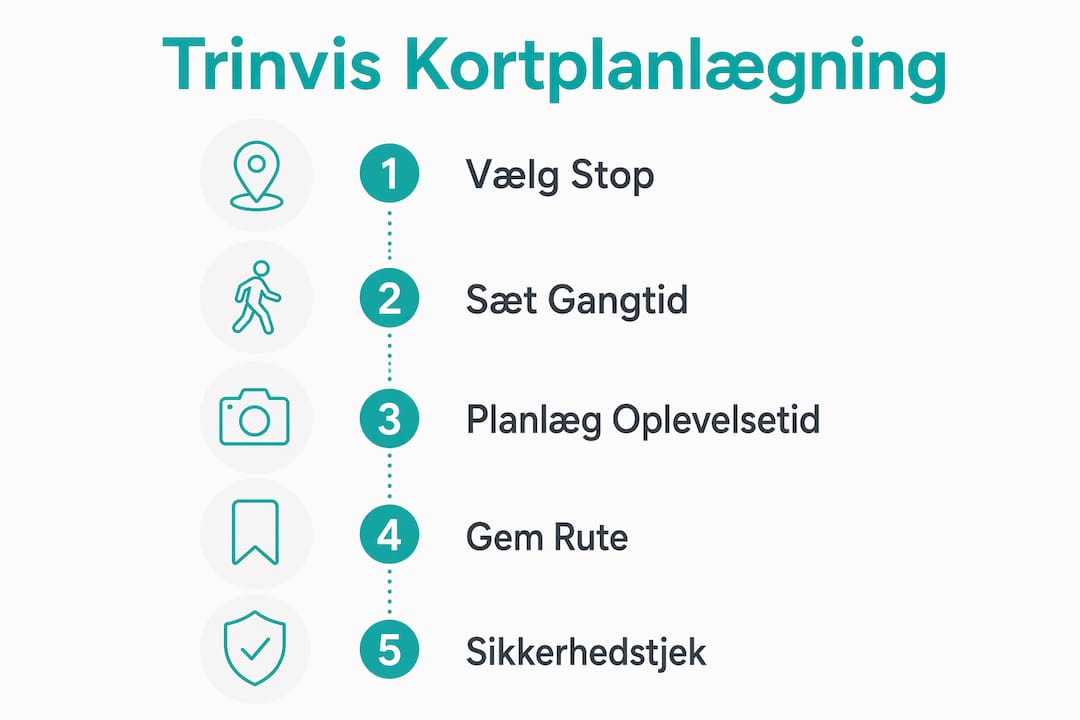
This model shows that a realistic scheduling of time per. Stopping and distance are crucial to avoid skipping experiences. A 30-minute route is not a limitation. It is a frame that provides focus.
What should you know about safety on mapped nature trips?
Safety and equipment must be considered in the route from the start, not as an afterthought. This is especially true for challenging landscapes such as coastlines and cliffs, where conditions can change rapidly. Secure planning along the coast and cliffs requires you to check wind, water level, and access conditions, not just the map.
The map shows the way, but local conditions determine whether you can walk it. Always check tide, wind conditions, and access restrictions before stepping onto the trail.
The Bulbjerg area in Thy is a good example. Here, the cliff edge may be inaccessible during high water, and strong wind makes the cliff edge dangerous. Choose the time for the trip carefully, avoid marked dangerous areas, and always have a backup plan in case conditions change along the way.
Equipment and practical tips for nature excursions
Planning nature walks requires layered clothing, sturdy shoes with good grip, and a basic first aid kit. The mobile phone is your primary navigation tool, but the battery is running out. Bring a power bank and download map sections offline before leaving the mobile network.
Always tell another person which route you are taking and when you expect to be back. It's not excessive caution. It is standard practice for all nature excursions in varied terrain. For family trips with children, it also applies to choosing stops with facilities such as benches and toilets and to keeping the total route under two hours for the youngest.
Professional tip: Use the "Share my location" feature in Google Maps with a homebound person during the trip. It provides real-time updates of your position without requiring active communication along the way.
Which Danish routes can inspire your own map-searching experiences?
Denmark contains several well-structured routes that directly illustrate the principles behind step-by-step route subdivision. They can be used as direct inspiration or as templates for your own personal plans.
King's Path It is the clearest example of large-scale modular division. The mountain is 71 km. divided into 10 stages with varying lengths from 4 to 11 km Each stage has a start and end at a logically sensible location, so you can go one stage at a time and return to the starting point. It is exactly the same way of thinking as step-by-step short-distance searching, just scaled up to an entire hiking route along the Kongeå with nature, cultural history, and border history as themes.
Art Walks in Cities It is the urban variant. A typical art tour with 5 stops and a duration of 30 minutes can be arranged in any Danish city with public art. Deep Forest Art Land At Gavnø is an example of a thematic art experience in nature that combines forest environment and sculptures along a natural route.
Microadventure concept It is the most accessible model for busy travelers. Mikroadventures focuses on short excursions Close to home, planned within 30 minutes of transportation, with 3–5 quick and manageable experiences. It is especially suitable for families with children and weekend trips, but the principle works for everyone.
Comparison of three route model types
| Ruth model | Example | Number of stops | Duration | Suitable for |
|---|---|---|---|---|
| Long-distance route | King's Path | 10 steps | Several days | Experienced hikers |
| Kortby Art Walk | City sculpture park | 5 توقف | 30 minutes | All age groups |
| Microadventure | Local nature spot | 3–5 توقف | 1–2 hours | Family and beginners |
The three models share a common principle: stage division provides flexibility for both short and long trips and suits busy travel schedules. You don't need to complete the entire route at once. That's the point.
Here are the main advantages of using existing routes as templates:
- You save planning time because stops and distances have already been tested.
- You gain access to local knowledge about terrain and facilities
- You can customize the route by adding or removing stops as needed.
- You can combine two shorter routes into one longer day trip.
Slowly and focused gives the best experiences
I have used step-by-step short searches on many trips around Denmark, and the most important lesson is simple: fewer stops provide better experiences. The first times I planned too many stops and ended up seeing everything too quickly. A sculpture deserves more than 90 seconds. A coastal cliff deserves to be sat down and looked at.
Slow travel - the idea puts into words what I have experienced myself. Trinvist short-based experiences promote presence and deeper insight into individual areas rather than stressful quick trips. It's not a question of seeing less. It's a matter of seeing better.
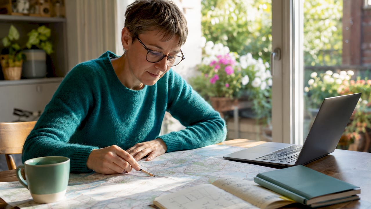
My best advice is to experiment with both digital and analog card tools. Google Maps is indispensable for searching and route planning. A physical map from the tourist office or a local hiking book provides a different kind of attention. You notice details you would never find in an app. Combine the two approaches, and you get the best of both worlds.
Always customize the route to your own pace and interests. A route that is perfect for an experienced hiker may be too demanding for a family with small children. Adjust the number of stops, expected time, and terrain so that the route fits the group you are with. That's exactly what step-by-step planning allows you to do: full control over the experience, step by step.
— Tommy
Find your next card-based experience with Rejsidanmark
Rejsidanmark gathers the best experiences, sights, and activities in Denmark in one place, with map-based search and filters for season, price, and age group. Whether you're planning your first trip to Denmark or looking for new places to explore, you'll find concrete inspiration and practical guides. Start with The guide to Denmark for first-time visitors for a solid overview of the country's best experiences. Do you need a complete one Checklist for your day tripYou can also find it at Rejsidanmark. Plan your next card-based outing with peace of mind.
Frequently Asked Questions
What are step-by-step search experiences?
Trinvist short search experiences are a method for finding and structuring excursions using digital map tools like Google Maps. You choose a theme, select 3–5 stops, and build a logical route step by step.
How many stops should a card-based route have?
A typical 30-minute route has 5 stops with 5–10 minutes of walking in between and 2–4 minutes of experience time per stop. Stop. Fewer stops provide more time and presence at each place.
Which apps are best for map-based route planning in Denmark?
Google Maps is the most accessible tool for searching and route planning. The NaturTjek app and municipal route planners are supplemented with local information about trails, facilities, and access conditions.
How do I ensure my safety on nature trips along the coast?
Check the wind, water level, and access conditions before departure, not just the map. Bring layered clothing, sturdy shoes, and a power bank, and always tell another person which route you are taking.
What is the King’s Path, and how is it used as inspiration?
Kongeåstien is a 71 km long hiking trail divided into 10 stages of 4–11 km. The stage division is a direct example of step-by-step route planning, where you can go one stage at a time and return to the starting point.